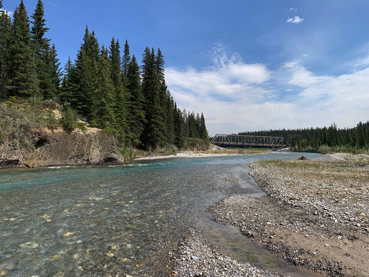
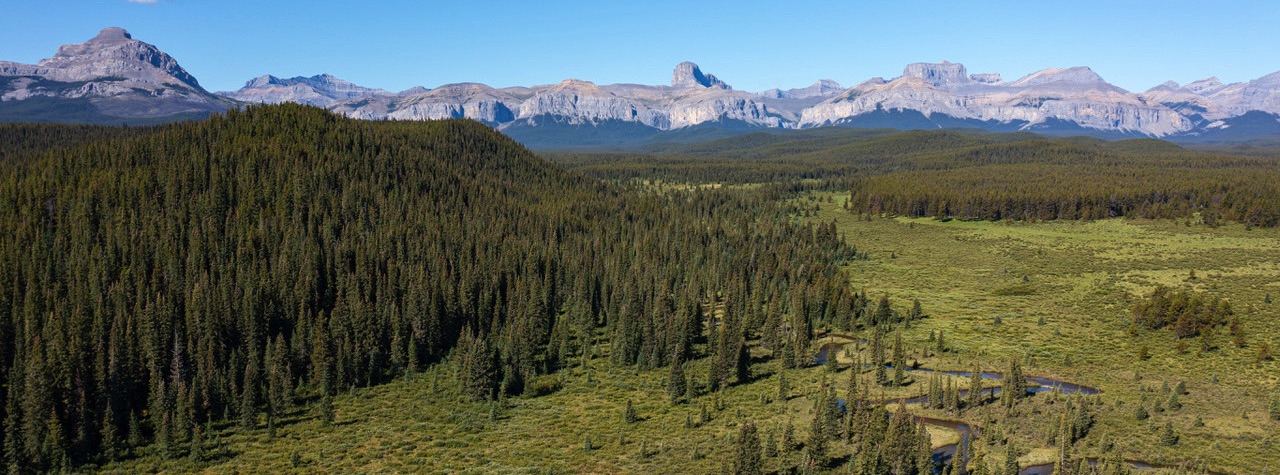
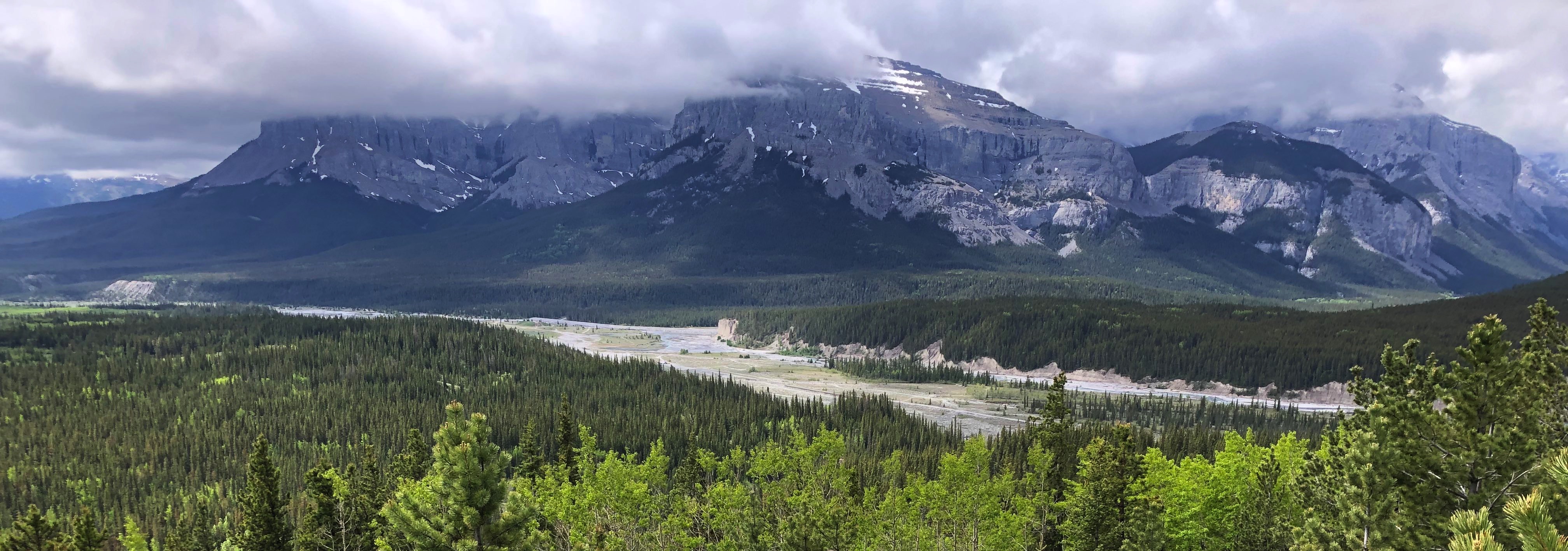
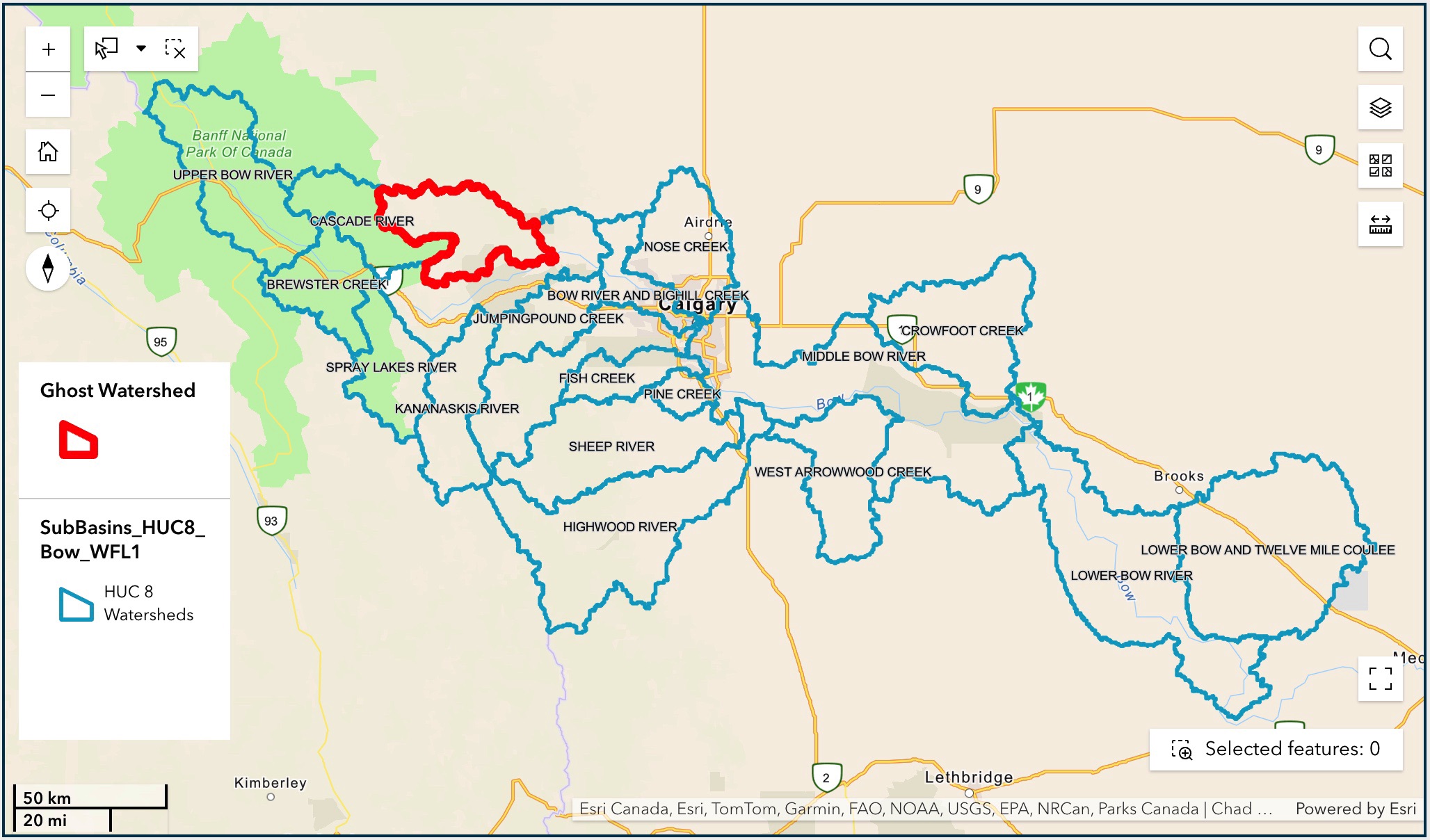
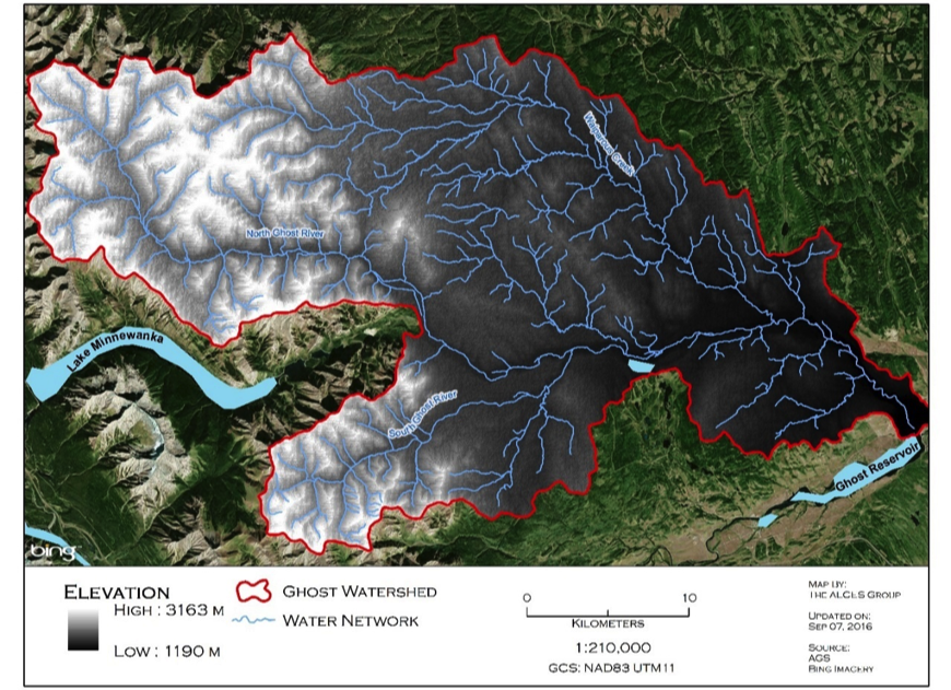
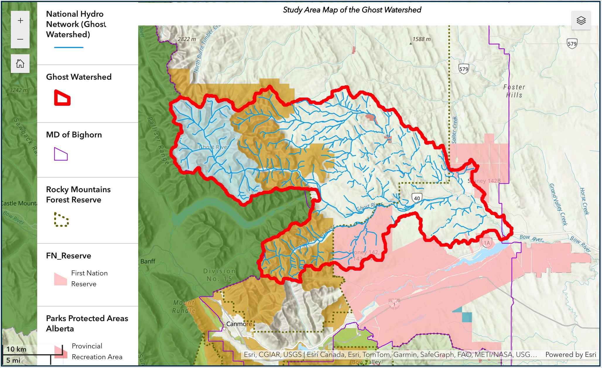
The Ghost Watershed encompasses one of the most scenic landscapes along the Rocky Mountains in Alberta. Abutting Banff National Park to the west and the Bow River valley to the south, the Ghost Watershed is an important source watershed to the Bow River providing an average of approximately 7% to its flow upstream of the City of Calgary.
More than 100 years ago, the Canadian government recognized the importance of the Eastern Slopes watersheds as the source of water for the prairie region. In 1910, they established the Rocky Mountains Forest Reserve for the maintenance of timber and a continuous water supply.
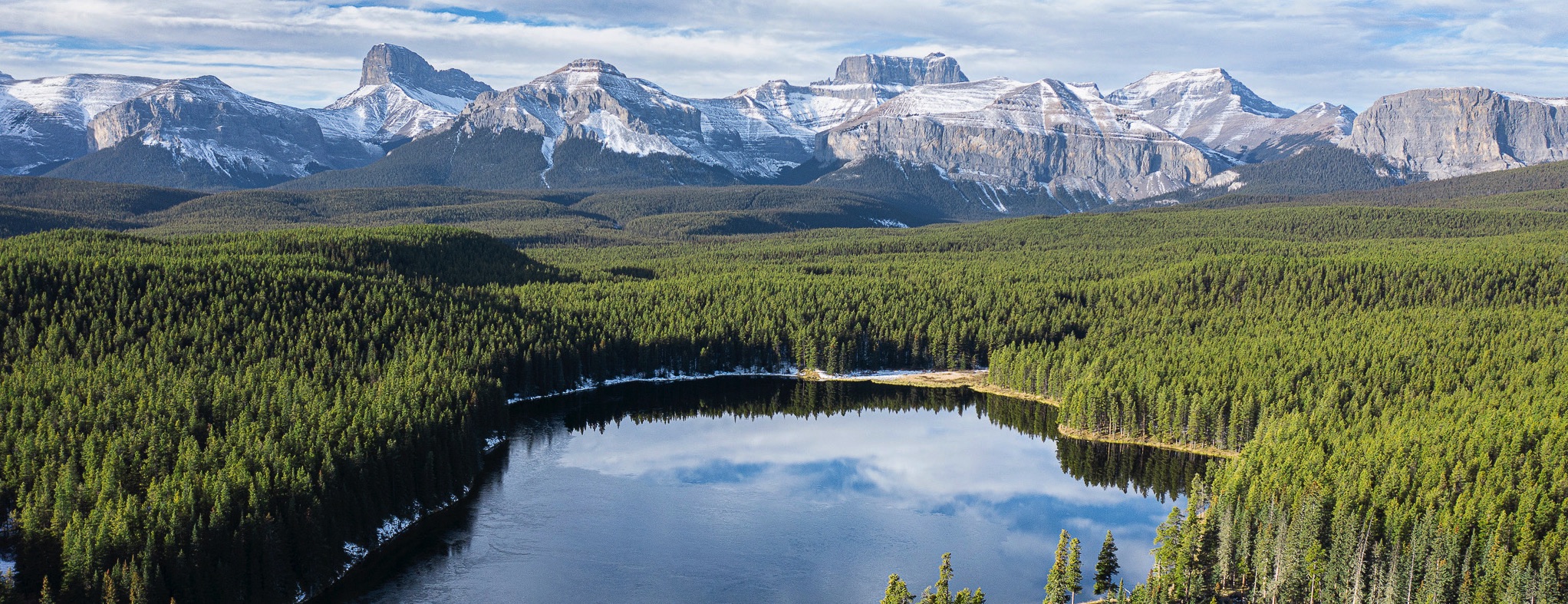
Approximately 78% of the Ghost Watershed is Crown land, including portions of the Rocky Mountains Forest Reserve, Don Getty Wildland Provincial Park and the Ghost River Wilderness Area.
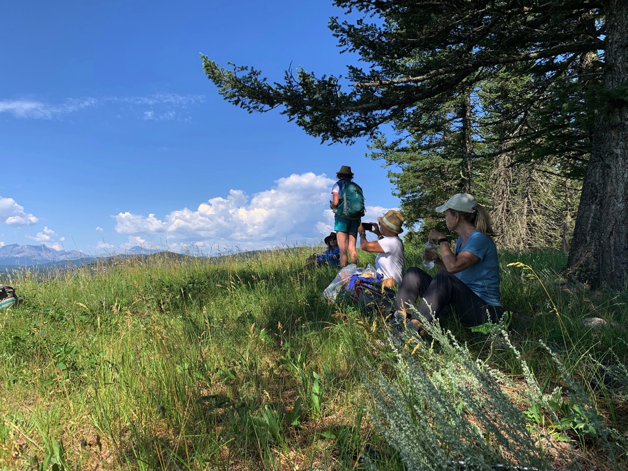
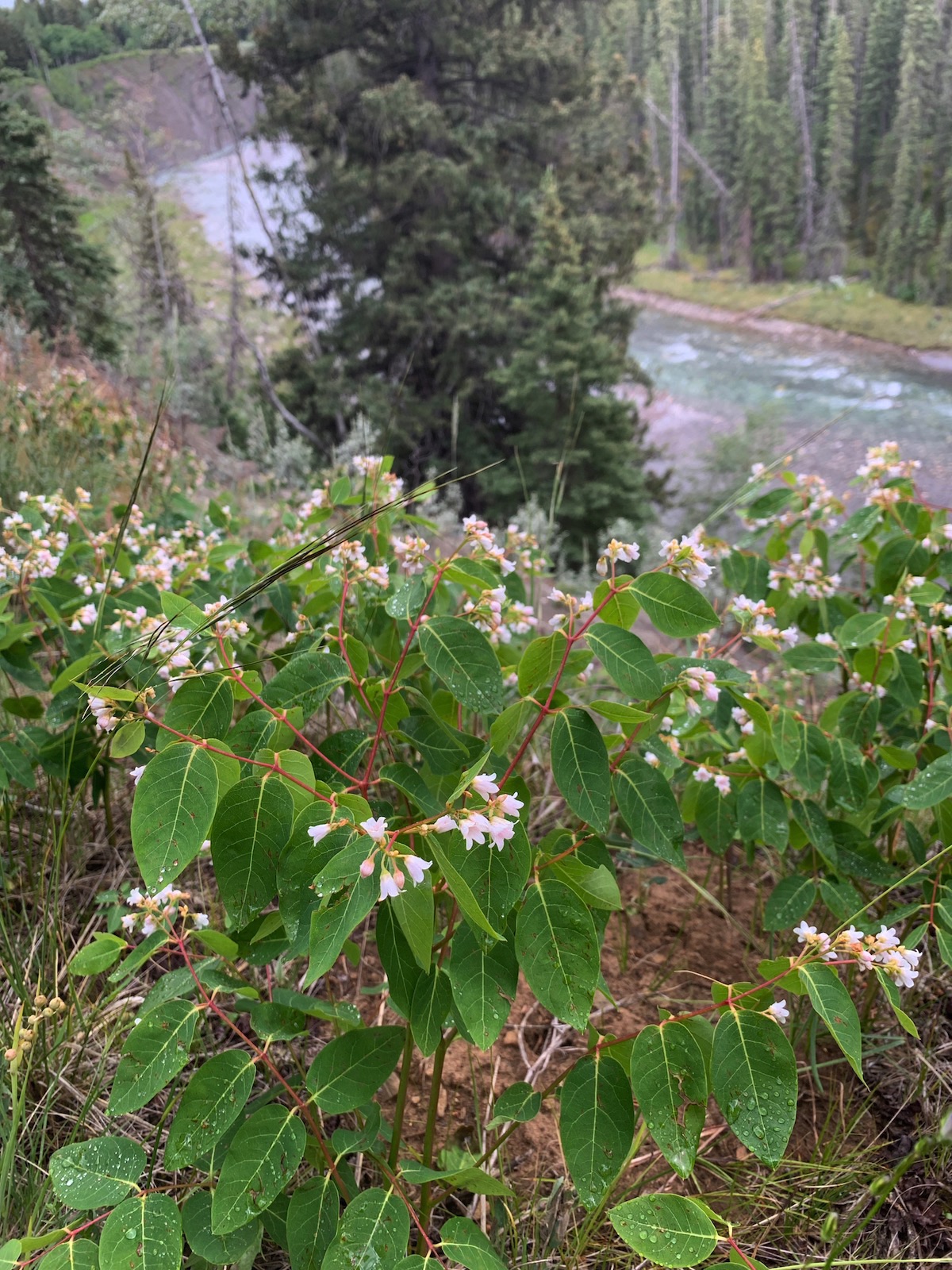
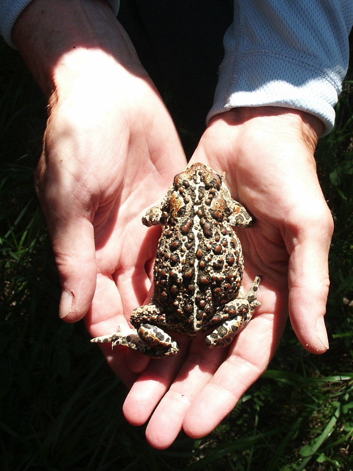
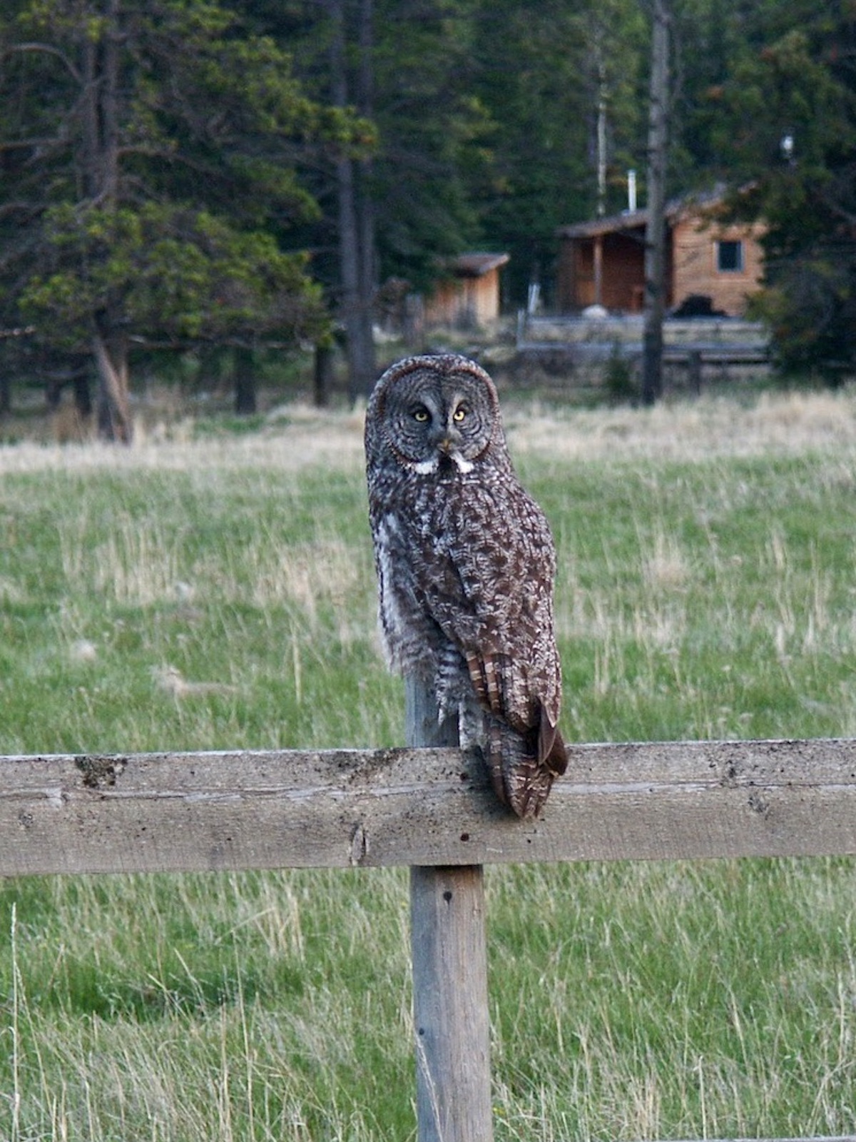
Today, the watershed is sparsely inhabited with only three higher density developments. Although there are few full-time residents, many visitors enjoy camping, hiking, rock and ice climbing, hunting, fishing, horseback riding, wildlife watching and off-highway vehicle (OHV) use.
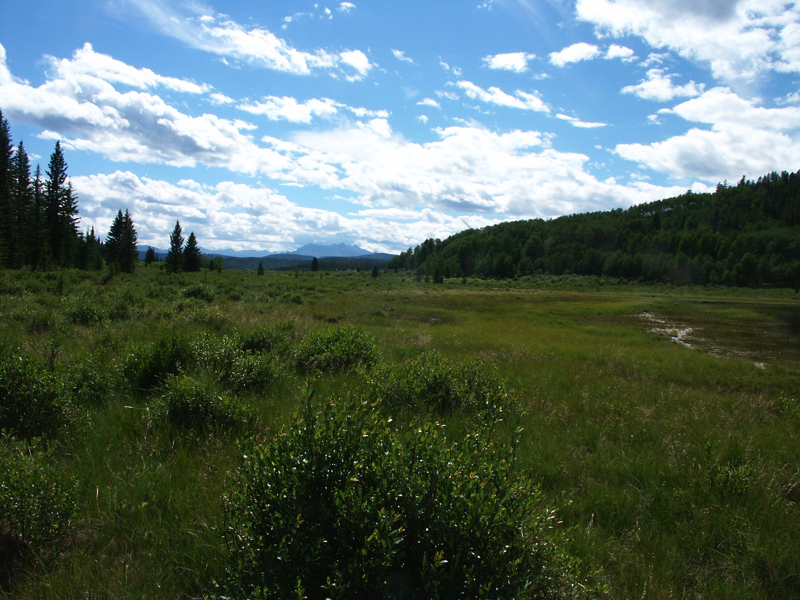
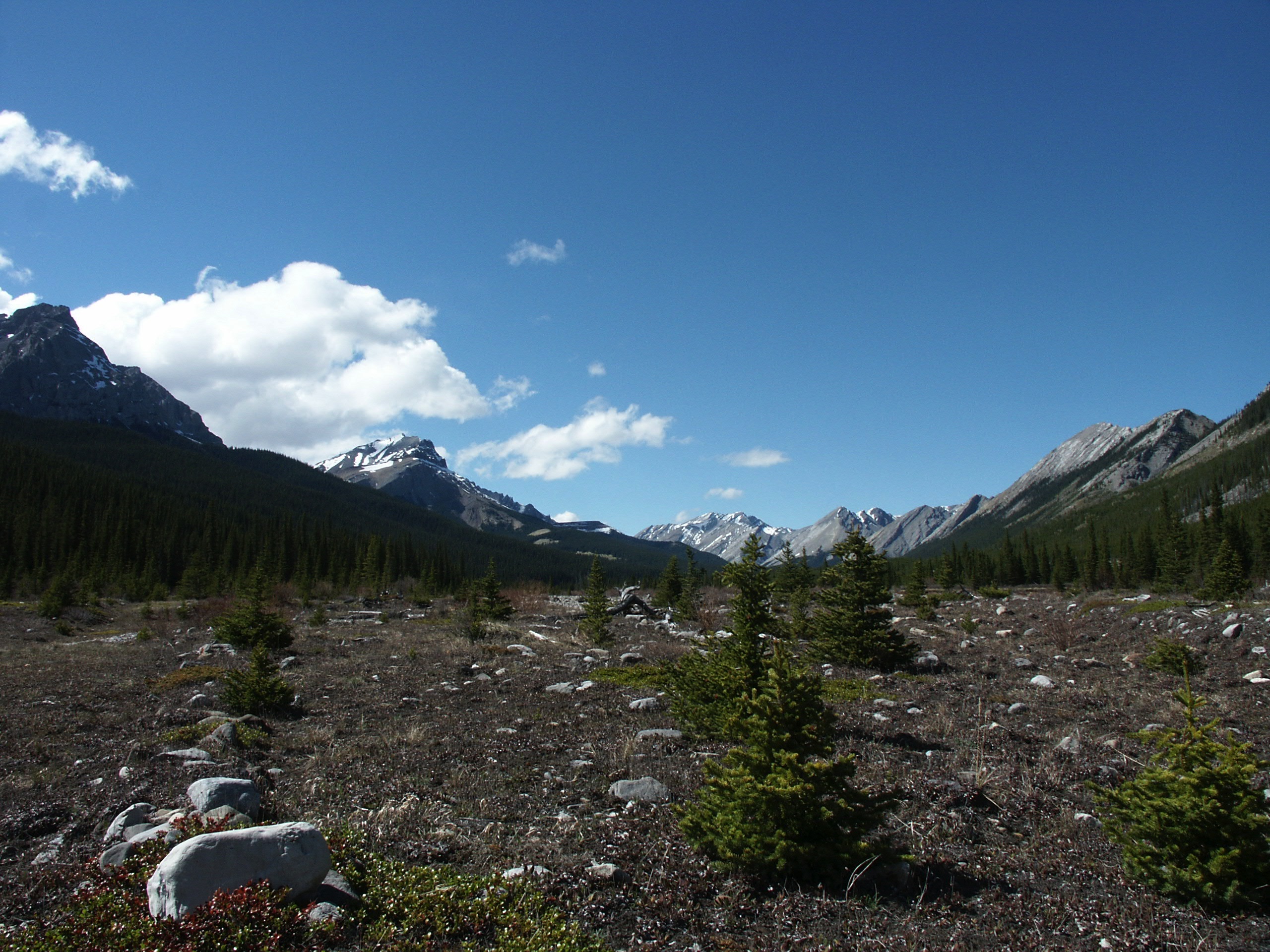
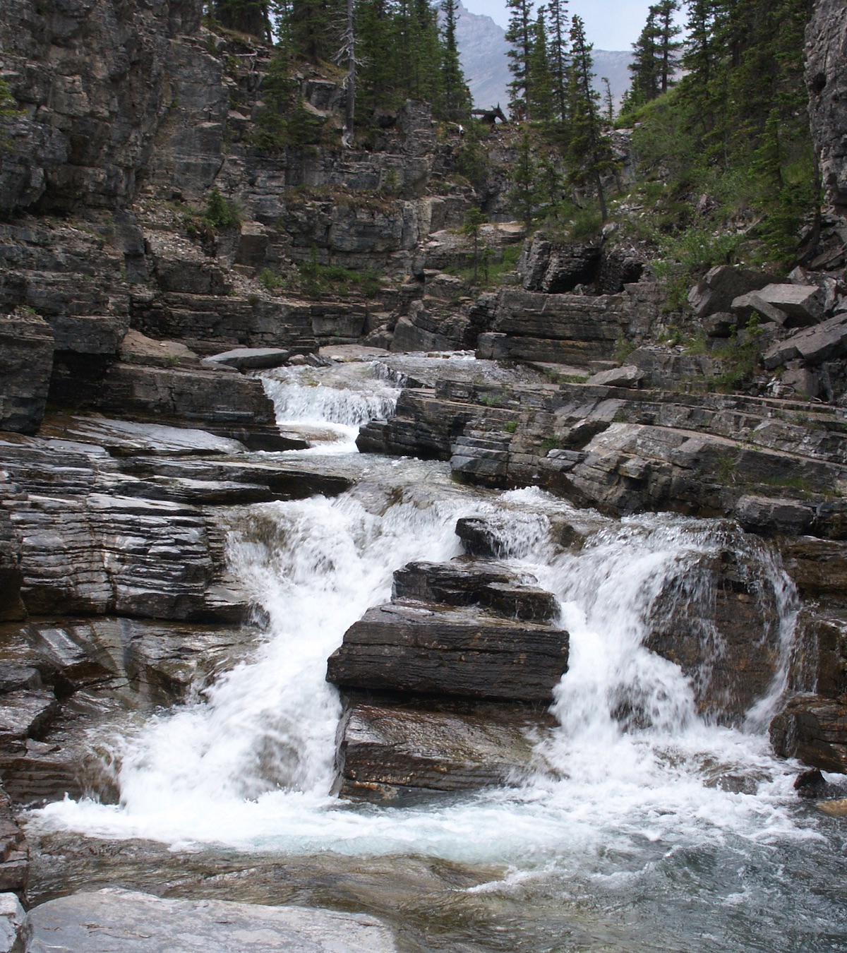
Photo: Waiparous Creek headwaters, M. Krainer
Ghost River State of the Watershed Report
In 2018, GWAS completed the first Ghost River State of the Watershed Report.
The purpose of this report is to provide an objective, scientifically-based overview of existing data and information to assess the current condition of the watershed. In addition to providing an overview, the report outlines current data and knowledge gaps, and provides recommendations on ways to improve our understanding of the watershed. The report is available for download as a PDF version.
Online State of the Watershed Report
In 2023, we published the report in an online format with interactive maps. It will be updated on an on-going basis with new information on the watershed.
We would like to thank the Bow River Basin Council for their support in making this project to turn the Ghost River SOW Report into an ArcGIS online version possible!
Please check out the online SOW Report here:
Bow River Basin State of the Watershed Report
In 2024, the Bow River Basin Council published its new online State of the Watershed Report, which includes sections on all sub-watersheds of the Bow River Basin including the Ghost Watershed.
Please check out the online SOW Report including the section on the Ghost Watershed here: